Froggy Jumps How can satellites help us protect life on earth?
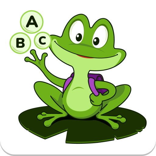
Online version Test your satellite land monitoring knowledge to help froggy cross the pond with our exciting game! by Kirsty Shakespeare 1 What does this image show? a Deforest-ation b Wild fire c Melting ice caps 2 What is the process of 'carbon sequestration'? a Releasing both carbon dioxide and oxygen into the atmosphere. b Taking up carbon dioxide from the atmosphere and releasing oxygen into the atmosphere. c Taking up oxygen from the atmosphere and releasing carbon dioxide into the atmosphere. 3 How do satellites monitor vegetation health? a By measuring the near infrared light reflected by plants. b By measuring the UV radiated by plants. c By measuring sound waves produced by plants. 4 What does this image show? a Wildfire b Deforest-ation c Vegetation health 5 What is forest biomass? a The amount of animals in a forest. b The amount of water stored in a forest’s soil. c The total mass of living trees and plants, including trunks, branches, leaves, and roots. 6 Why is it important to measure forest biomass? a To assess the carbon storage and assess forest health. b To measure soil erosion rates. c To monitor forest fires. 7 How does deforestation contribute climate change? a By decreasing the amount of greenhouse gas. b By increasing the amount of carbon dioxide in the atmosphere. c By contributing to the ozone layer. 8 What is the common cause of deforestation? a Reforestation projects. b Increased forest conservation efforts. c Agriculture expansion. 9 Why is monitoring crop health important to farmers? a It provides farmers maximise crop yield and making informed agricultural decisions. b Allows farmers to track the growth rate of neighbouring farms. c Allows farmers to estimate the market value of crops. 10 What is seen in this satellite image? a Group of walruses. b Penguin droppings. c Polar bear. 11 What is a key benefit to monitoring land from space? a It provides data on ocean chemical levels. b It provides information on daily local weather patterns. c It tracks land use changes, deforestation, and urban expansion for better environmental management. 12 What is one way satellites can detect an upcoming heatwave? a By tracking cloud cover. b By measuring ocean salinity. c By monitoring soil moisture levels. 13 How can satellites detect wildfires? a By using visible and infrared images to detect smoke and flames. b By measuring plant health through near infrared sensors. c